Imroving monitoring and forecasting of coastal regions : FOCCUS key mission
This will be implemented through co-design and co-production between MS services and a reinforced CMEMS.
Advanced and seamless coastal monitoring and forecasting systems will be developed in a joint effort based on novel approaches to better constrain the coastal applications and models developed at the national and local levels, including harmonisation, standardisation, use of improved high-resolution in situ and remote sensing data, and river inputs.
Imroving the understanding of coastal regions. Towards a more sustainable future.
To achieve its main mission, FOCCUS has set out five ambitious objectives
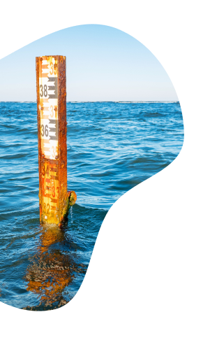
Objective 1 : Better coastal observations
“Improve pan-European innovative coastal observations in response to society and EU policy needs”
01/
Improving the retrieval of Essential Ocean Variables (EOVs) in :
- Climate
- Operational Services
- Ocean health and ecosystems
- Coastal Change
02/
Improving Remote sensing coastal observation with focus on Physical (PHYS) and Biogeochemical(BGC) parameters.
03/
Creating new coastal products by data fusion of in-situ and remotely sensed data.
04/
The application of AI technologies for improving data quality and observation.
05/
The making of an inventory of the current status of coastal data available in different EU marine data services to identify data gaps.
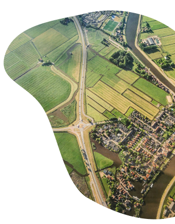
Objective 2 : Better land-to-ocean interfaces
“Improve land-coast-open ocean interfaces.”
01/
Build on the existing pan-European hydrological models and will develop pan-European set up and calibration of nitrogen and phosphorus, particulate and dissolved organic and mineral matter transport modules to provide river discharge inputs for ocean models.
02/
Further develop an Estuary Box Model (EBM3), incorporating novel AI techniques to exploit the use in estuaries in order to optimize the estimation of EOVs.
03/
Establish Land Ocean Interfaces (LOI) with inland-estuary modelling, assessing impacts and sensitivity testing on PHYS and BGC variables.
Objective 3 : Better connections between Copernicus models and national systems
“To enhance and/or establish the connection of MSCSs to the existing CMEMS systems in order to improve the open ocean connection to these systems and enhance the quality and efficiency of CMEMS.”
FOCCUS will strengthen the capacity of CMEMS to support MSCS’s by enhancing their coherency and by upgrading its systems for improved coupling and downscaling. Furthermore :
01/
Processing chains will be set up and tested to exploit new coastal ocean observations and new and improved algorithms.
02/
Connections of a selection of MSCS to the existing CMEMS systems will be set up through model nesting.
Objective 4 : Better co-designed applications
“Demonstrate the usefulness of the advancement of the observing and modelling systems through the design of co-produced applications in support of MS requirements.”
FOCCUS will implement efficient product chains to facilitate an advanced and seamless monitoring and forecasting of the ocean from the CMEMS global/regional systems to MSCSs through pilot demonstrations of new products and improved co-produced (by CMEMS and MS) services. In particular, to demonstrate the added value for :
01/
Protection of the coastal zone.
02/
Development of sustainable blue economies.
03/
Building coastal zone resilience to climate change, anthropogenic pressures and natural hazards.
Objective 5 : Maximising project uptakes
“Maximising the uptake and impact through an effective campaign of communication, dissemination, exploitation and engagement activities and preparing the long-term exploitation of the project.”
To maximise FOCCUS impacts, communication, dissemination and engagement activities will be carried out for targeted audiences to raise awareness, foster dialogue, enable co-production and increase up take and exploitation of project outcomes and results.
01/
Project results will be communicated via the public-facing website, social media, a project brochure and video, newsletters, scientific papers, presentations and demonstrations in key conferences
02/
An inventory will map existing MSCSs and their level of maturity, characteristics, applications and needs.
These include those near coastal borders and areas with high socioeconomic pressures. Neither the CMEMS numerical models nor the Remote Sensing (R/S) retrievals offer a sufficient level of resolution / accuracy / reliability for these complex domains, which are characterised by small spatio-temporal scales. Physical and Biogeochemical processes specific to the coastal zones fringe are seldom adequately reproduced (if included at all) by the shelf-scale models, leading to an inaccurate description of this zone.
More complete forecasting and analysis is increasingly demanded by coastal users to solve a variety of problems (e.g. conflicting tourism and port operation, water quality for aquaculture and bathing, etc.).
Achieving more fit-for-use solutions in this area would be of direct benefit for the coastal economy, including a reduction of uncertainty resulting in more efficient, cost-effective operations. In turn, the project will add value since it will enhance the coastal value of CMEMS products with limited additional investments, making use of existing tools and data.
Our innovative vision
Pillar 1
01/
Improved through close collaboration between the CMEMS R/S and EMODnet INS, to validate R/S data and inform CMEMS modelling, prediction and forecasting activities using INS data.
02/
New and Future Sentinel missions will lead to improvedmonitoring.
Pillar 2
01/
Aims at developing future fully integrated coastal observing and modelling-systems in support of FOCCUS applications (e.g., marine hazards, off shore operations, fishery and aquaculture, pollution) and EU policies (e.g., MSFD, WFP, MSP, CFP, GreenDeal)
Pillar 3
01/
Improving services in the regional and coastal ocean is a joint responsibility of CMEMS and MSCS developers and operators.
02/
New challenges are associated with the :
- New R&I needed to support coastal operational oceanography and high-level product development
- Implementations in the field of different sectoral policies (e.g., energy extraction, fisheries, offshore operations, industrial port areas)
- Efficient dissemination to and communication with stakeholders and users at different levels.
- Proof of concept for MS coastal ocean and Copernicus coastal co-produced applications.